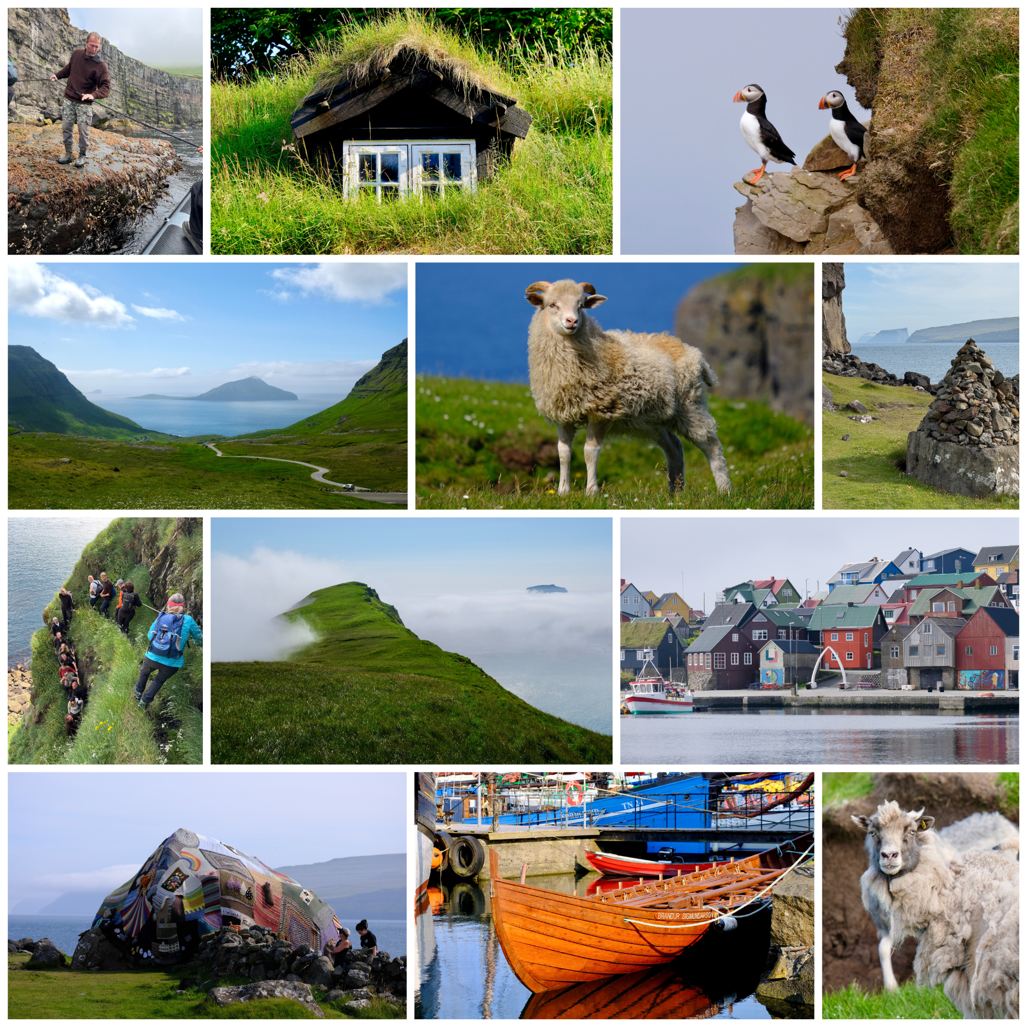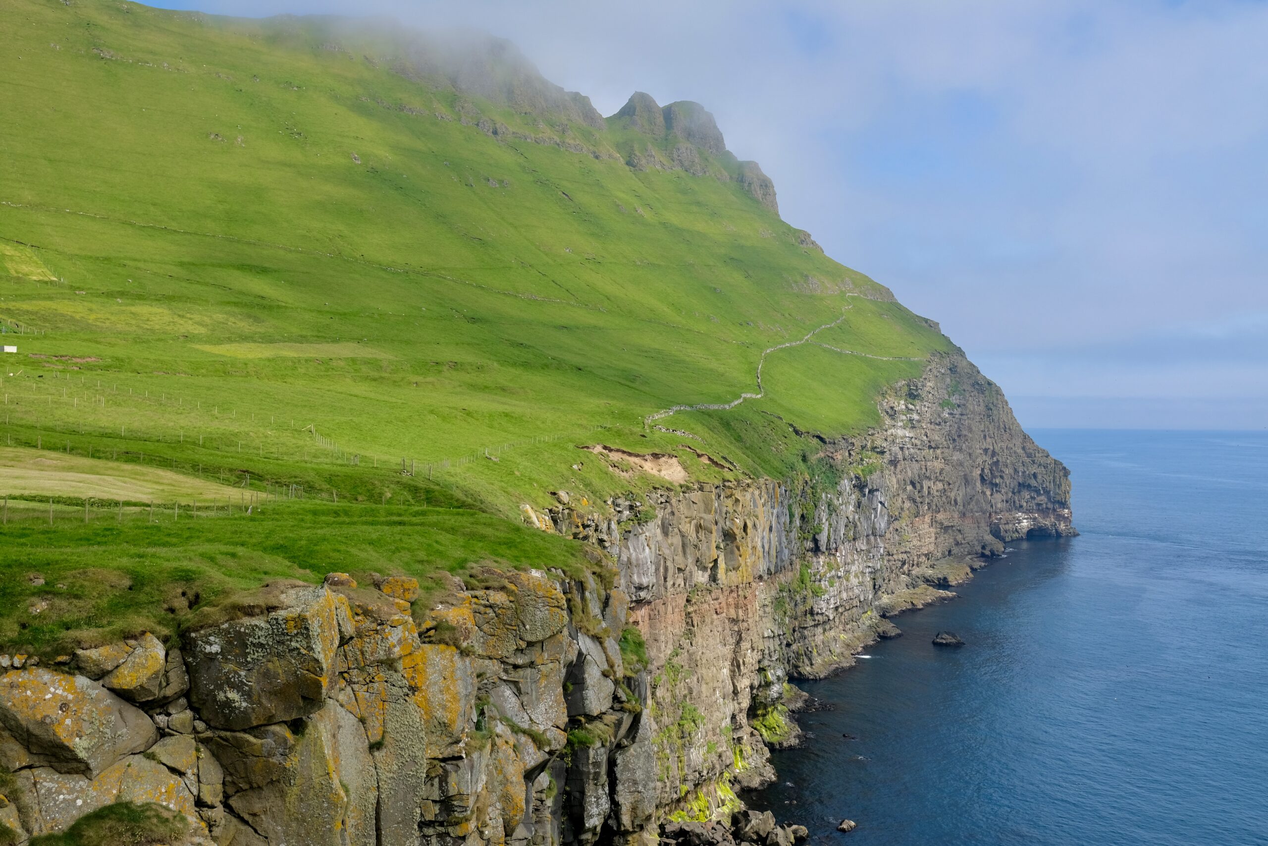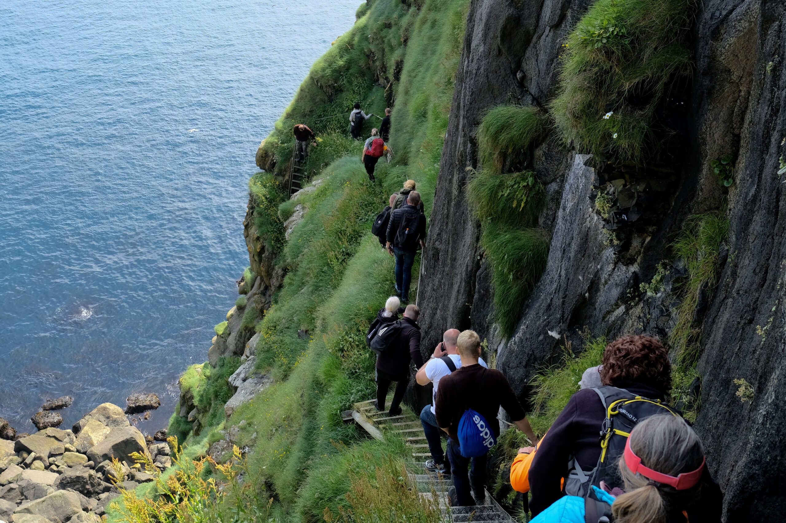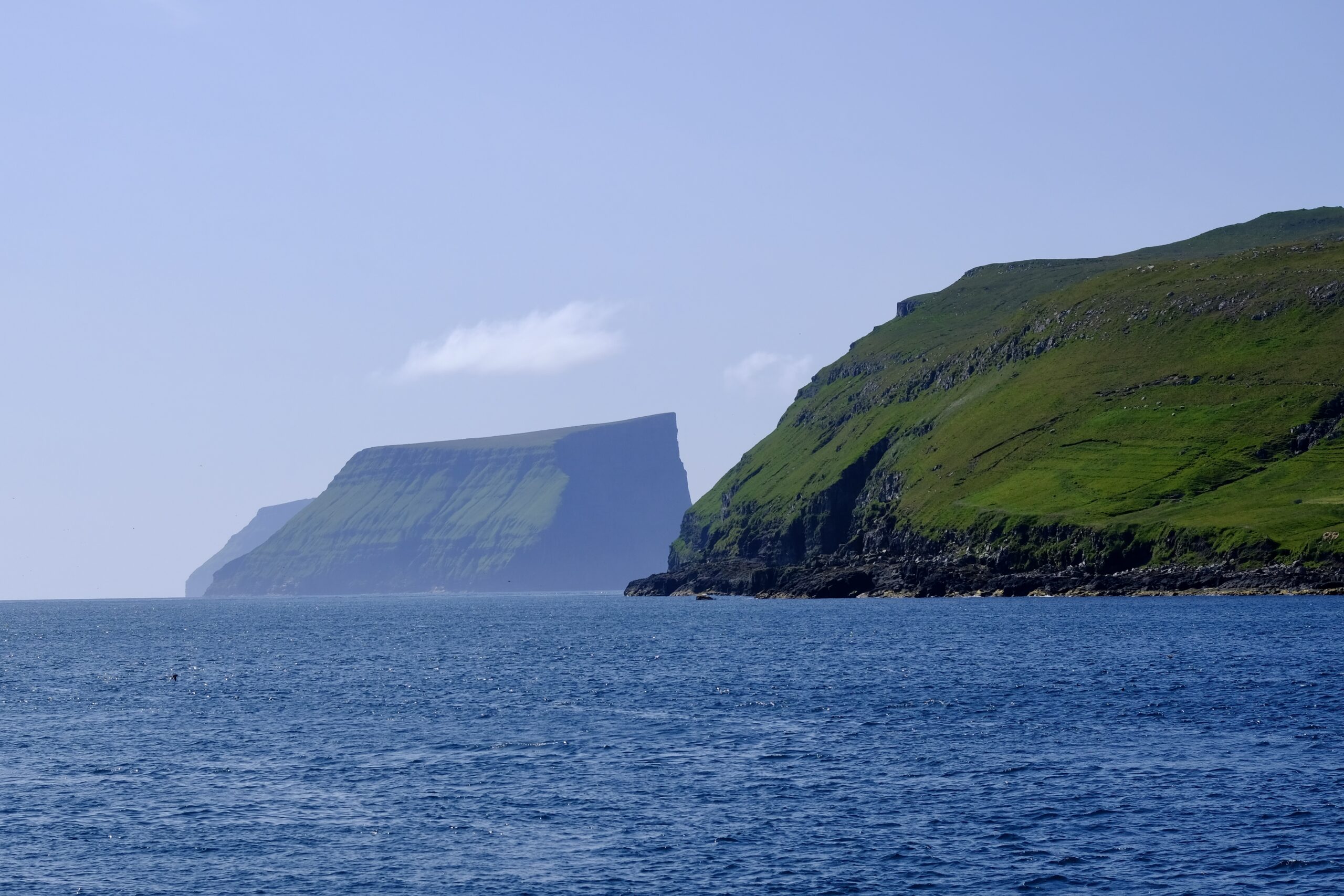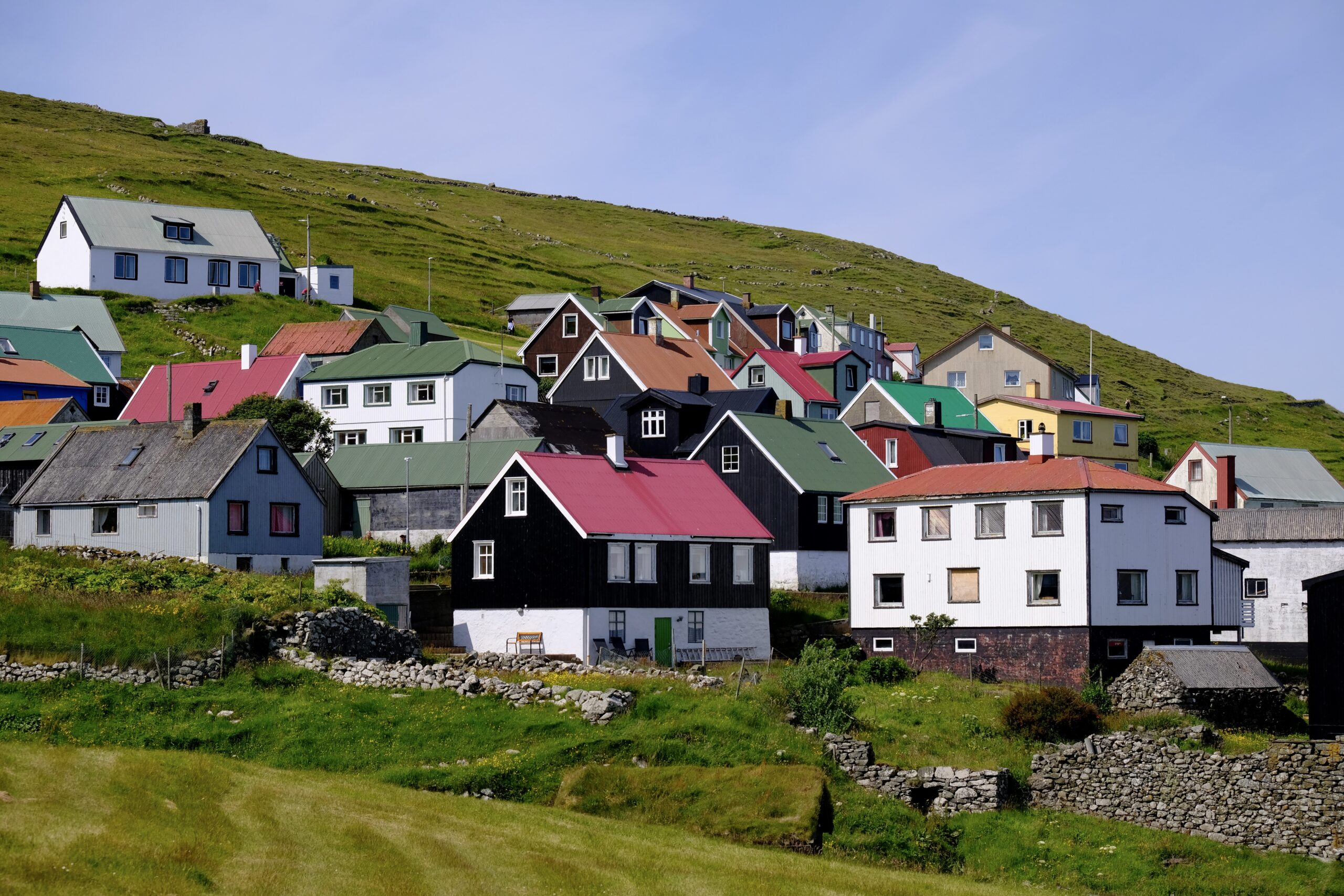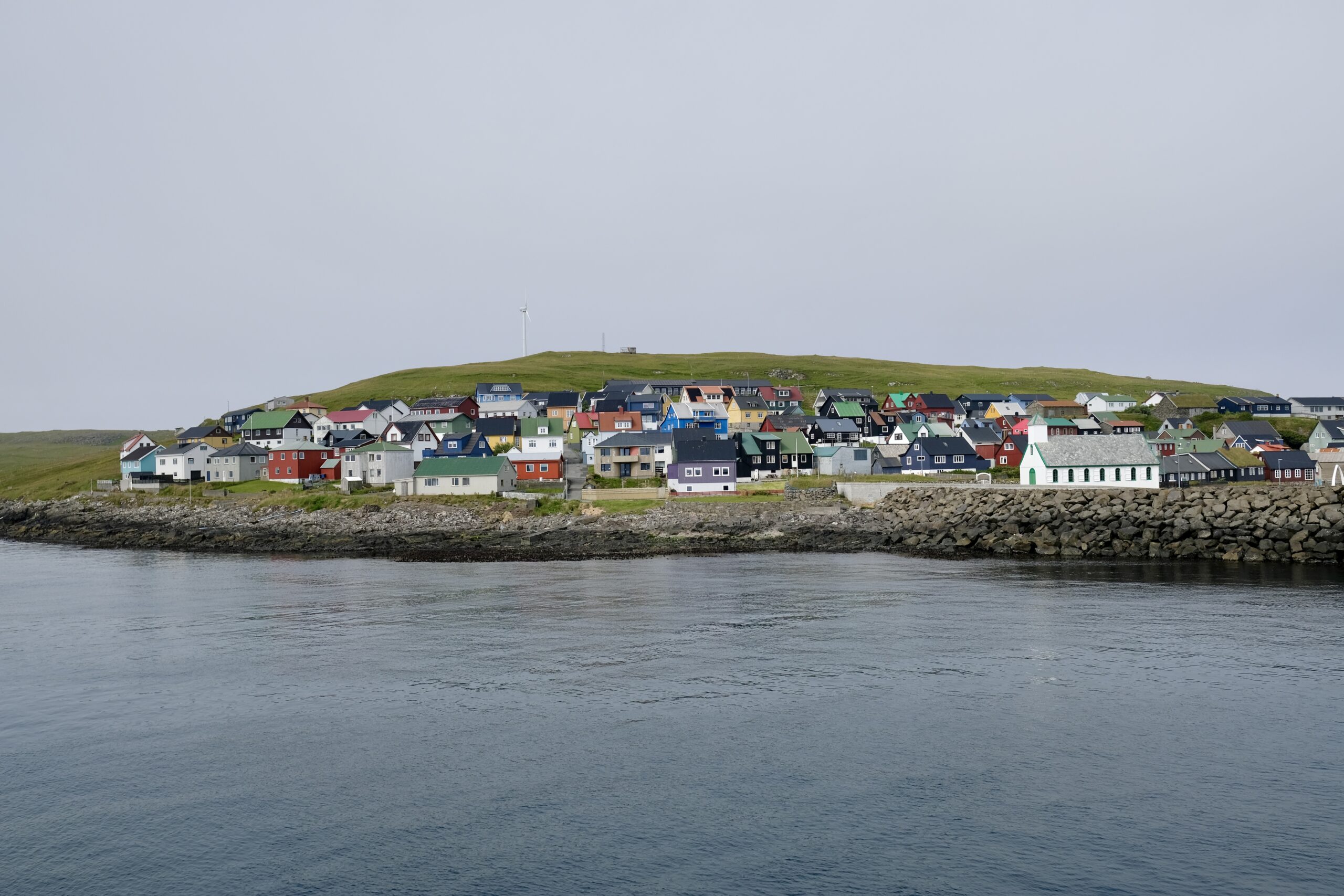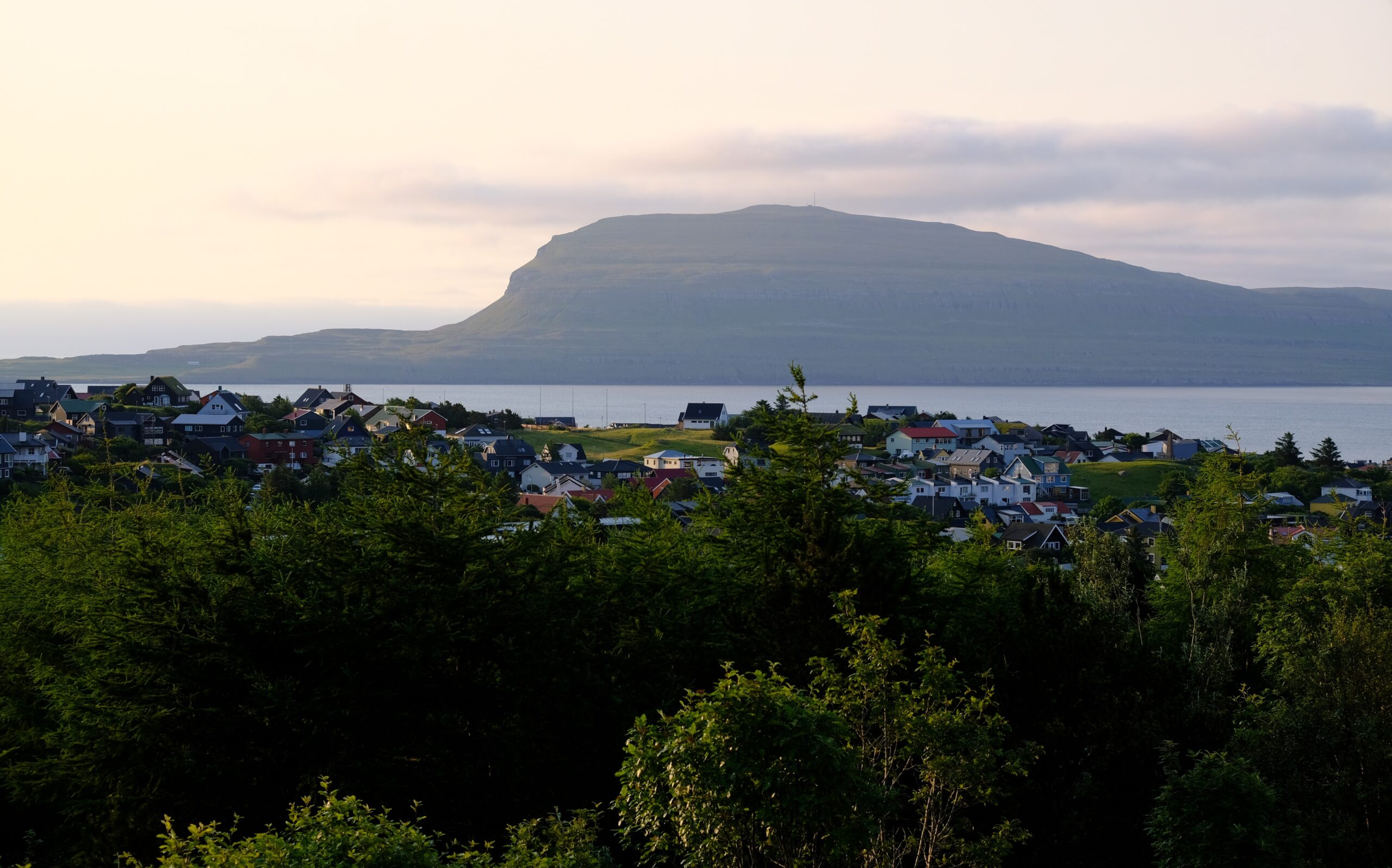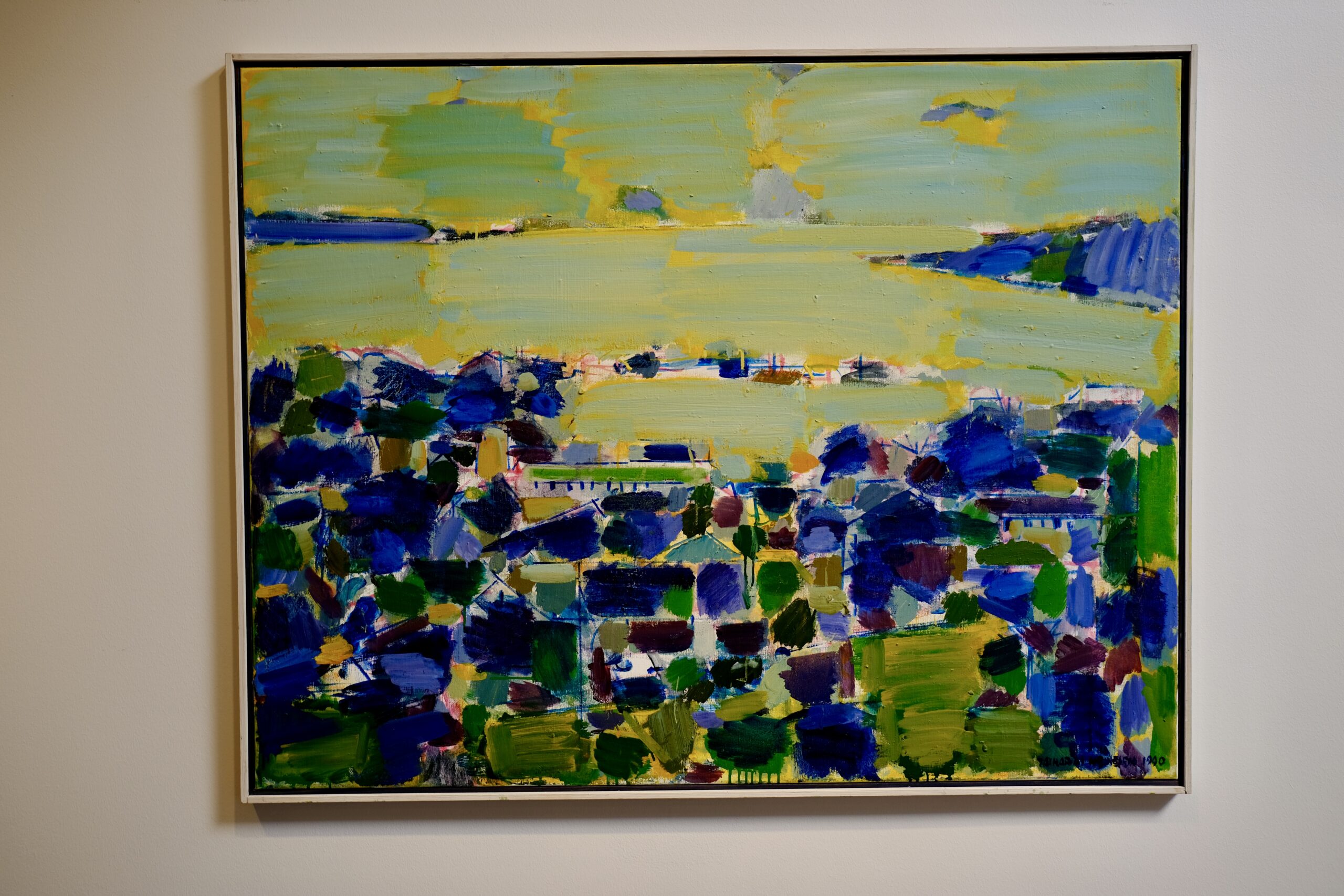
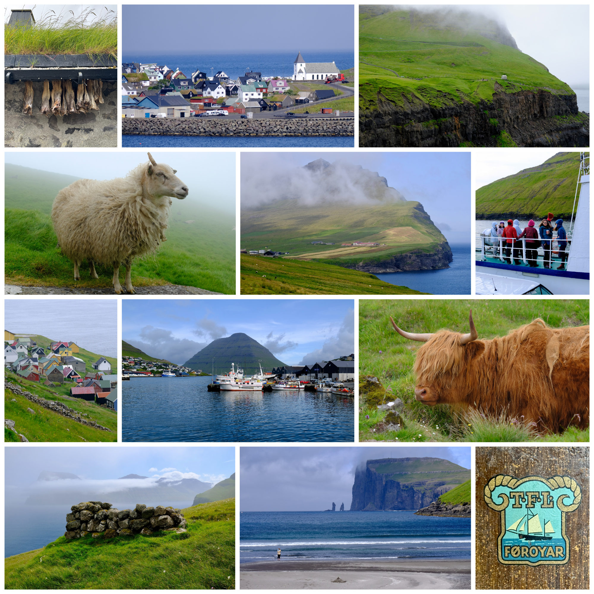
After an unusually sunny first week in the Faroe Islands, my remaining time exhibited the more typical Faroese pattern of unpredictable rain, fog, and wind. This wasn’t nearly as bad as it seems though, since the weather is rarely the same everywhere and the country is small enough to drive across (and back) in a single day. I had a rental car starting Monday, so I could adapt my plans and chase the sun by checking webcams distributed around the country.
Being able to drive also meant I could check out Eysturoyartunnilin, the last subsea tunnel I hadn’t seen, with the world’s only subsea roundabout. The Faroese are incredibly prolific at building tunnels, and not only the subsea variety. When I was there in 2018, the tunnels in the Northern Isles were single-lane and unlit. But in 2024, they replaced them with modern two-lane tunnels that allow larger vehicles to pass. They even opened a new tunnel while I was visiting! On Sandoy — coincidentally on the same day that I visited, but on the other side of the island — the tunnel connecting Dalur and Húsavík was opened, letting residents avoid the narrow cliff-side route that has a history of landslides.
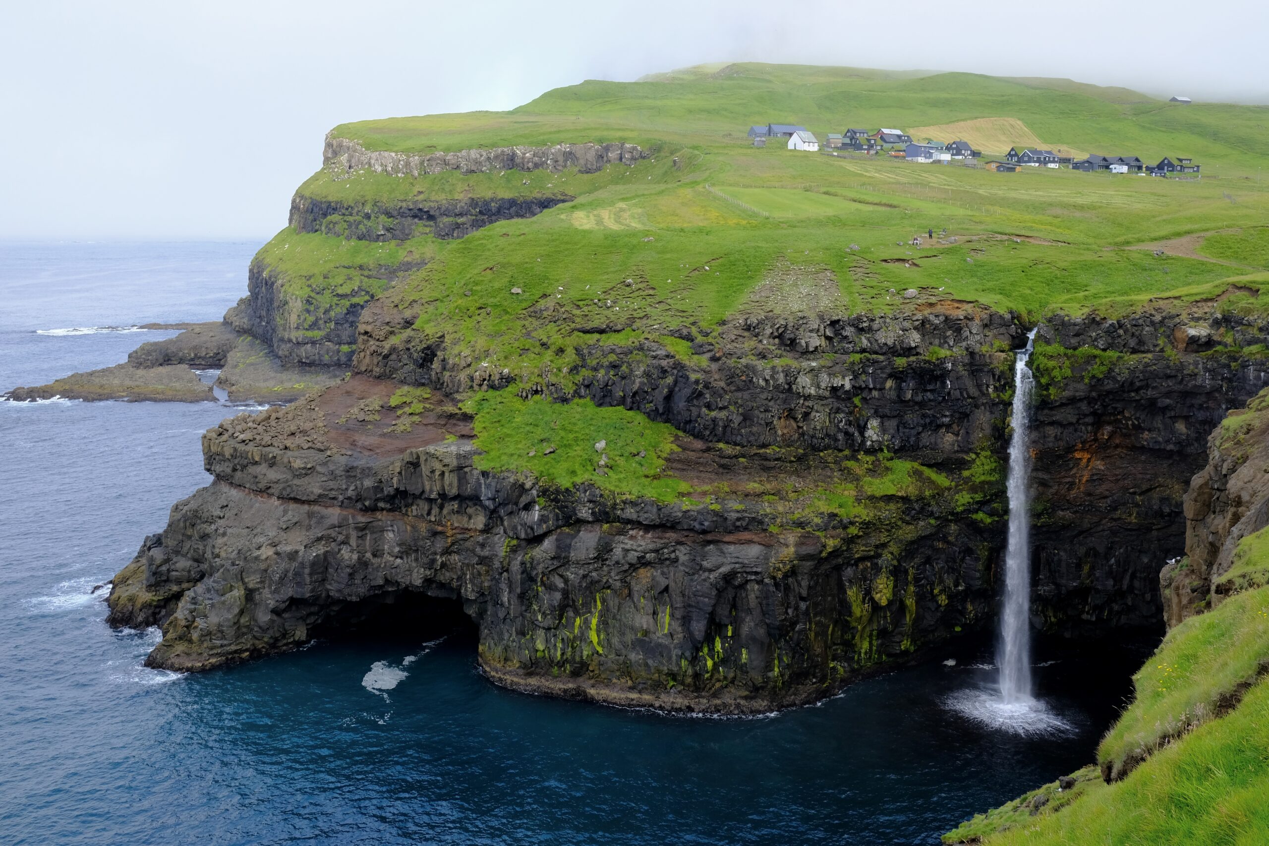
On Monday, my initial plan was to hike the old postman route between Bøur and Gásadalur on the island of Vágar. Gásadalur is most well known for the Múlafossur waterfall, whose water falls from the cliff edge into the ocean. But I’ve long been interested in the history of the village itself, which was very isolated before the tunnel was built twenty years ago. There is a fascinating documentary called 1700 Meters from the Future, which I’ve written about (and you can watch) on my Looking North blog, that was filmed in the time period just before the tunnel. It shows what life was like there, and touches upon the hopes and fears that the impending tunnel raised for the 17 residents at the time.
The mountain path I wanted to hike is the one the village’s postman would historically walk every day, and continued to walk three times a week even after helicopter service started in 1983. The film features the second-generation mail carrier, whose father before him walked the route for 56 years. It’s stories like these that fascinate me about remote places like Gásadalur, and I was excited to experience for myself what that route was like. Unfortunately, on Monday morning, the top of the mountain sat in a cloud of fog. Buoyed by my experience on Stóra Dímun the previous week, where the fog ended up clearing just in time, I began the route undeterred. But after a mile and a half of very vertical walking, the fog was thick enough to soak my hair, and the wet grass underneath my feet was slippery. I was alone, the views of Tindhólmur and Drangarnir were lost to the fog, and I concluded that I should turn around.
I had planned for other hikes on Vágar, but the fog seemed intent on hovering, so I decided to visit the village of Tjørnuvík on Streymoy, which had clearer skies. The road to Tjørnuvík reminded me of traveling in the Westfjords, or the north of Iceland. The end of the road gets progressively narrower, eventually dropping to a single lane serving two directions of traffic. This isn’t necessarily unusual in the Faroe Islands; cars simply negotiate their turn, using pullouts placed at regular intervals. But the final stretch, where the road descends along the cliff edge into the village, is gated by a traffic light that alternates for each direction at five-minute intervals. There are many signs along that way, forbidding cars from stopping, which is understandable because the view as you round the corner of the mountain is incredibly photo-worthy.
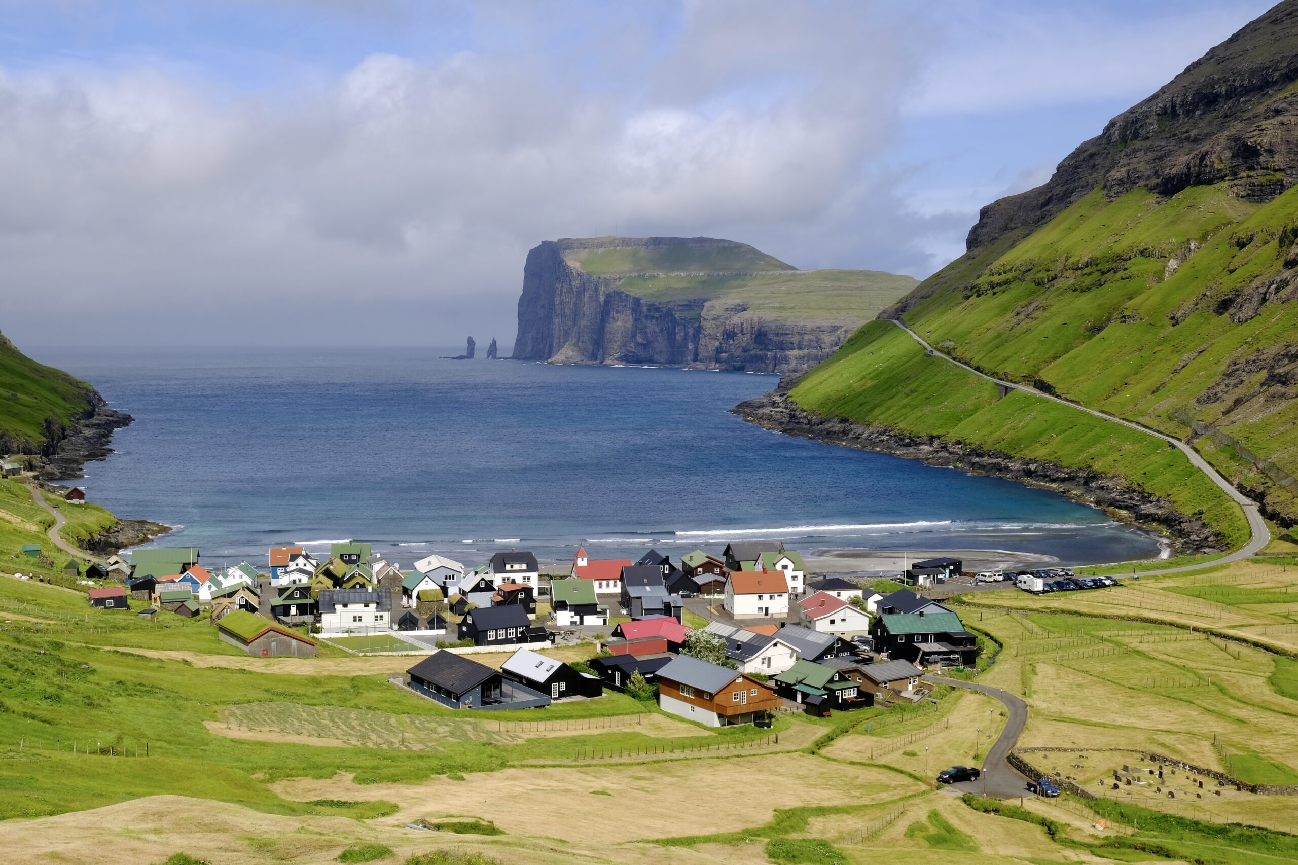
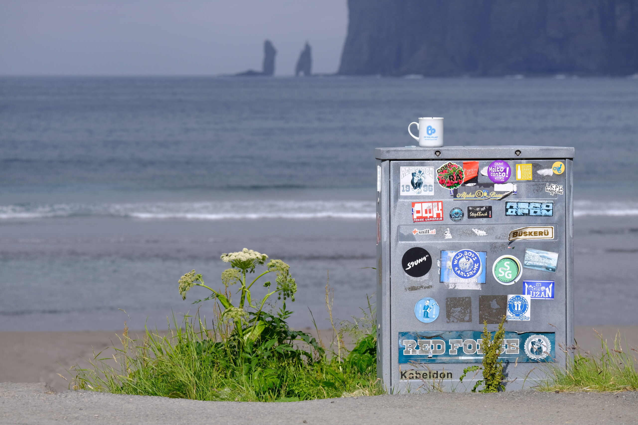
Tjørnuvík is home to the best surfing beach in the Faroe Islands, the best view of the sea stacks known as “the Giant and the Witch,” and, relevant to my unique interests, is also the landing site for the CANTAT-3 subsea fiber-optic cable. That cable is pretty old and slow now, largely used as a backup connection, but it marked the first time the Faroes were directly connected to North America when it went live in 1994. Not surprisingly, this was not an attraction for anyone else, but the cable connection box is right there on the beach itself, ready for a prominent plaque to mark this milestone of telecommunication history, if someone were so inclined.
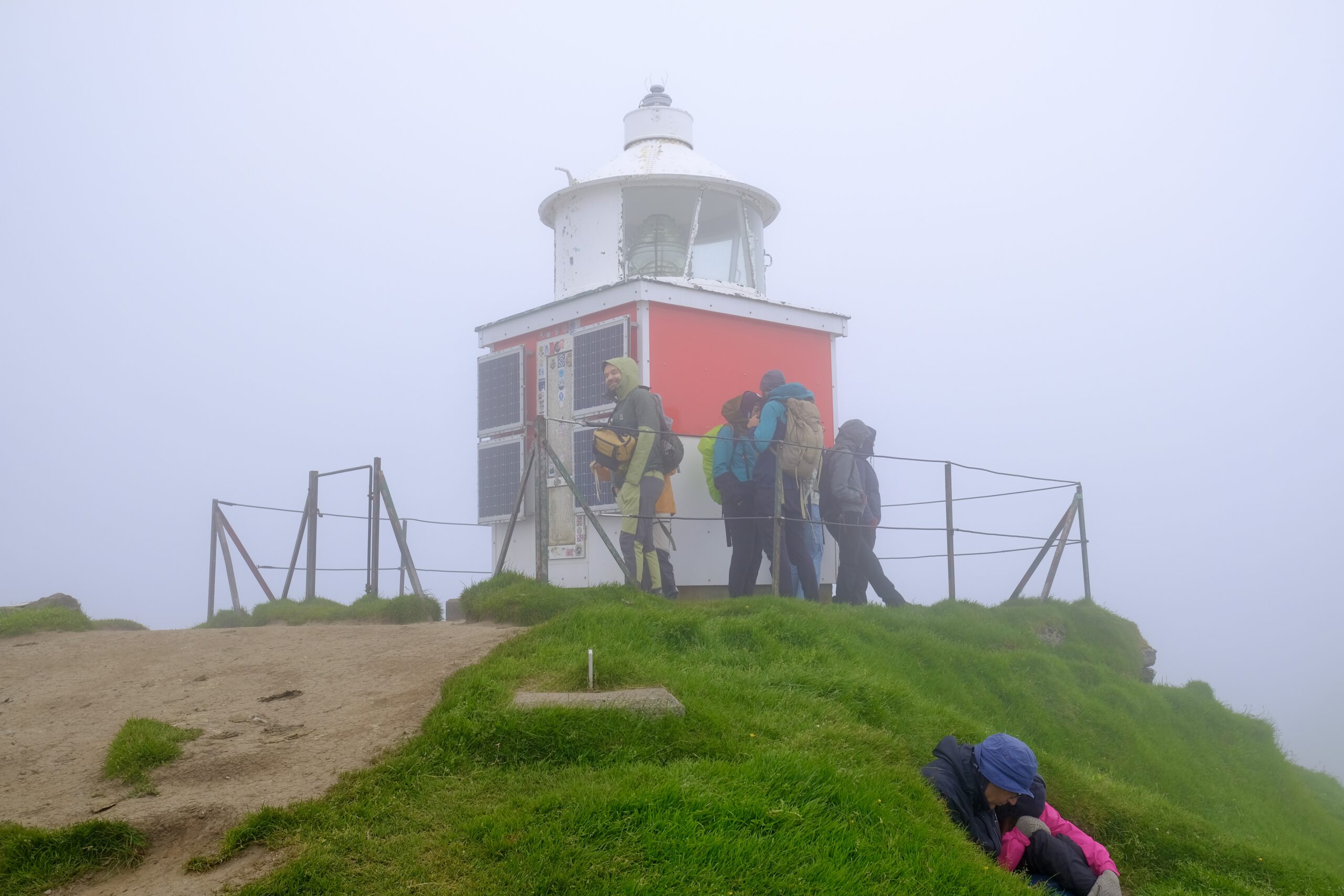
Tuesday, I drove to the Northern Isles, one of the most dramatic areas in the Faroes, to catch a morning ferry to Kalsoy. This island is long and skinny, earning it the nickname of “the flute” for the combination of its shape and the series of tunnels that make up the single road along the east side of the island. These are old-school mountain tunnels, the kind that have been mostly upgraded on the other islands, just barely big enough for the bus to fit through.
I was headed to the northern tip of the island to hike to the Kallur Lighthouse. That hike has gotten more popular recently, since it was used as a filming location in the James Bond film No Time to Die. On this day, the island exhibited the kind of micro-climates that the dramatic topography of the Northern Isles is particularly known for. Most of the fog was moving fast, hiding and showing views of Kunoy, which runs parallel to the island, in the span of a minute or less.
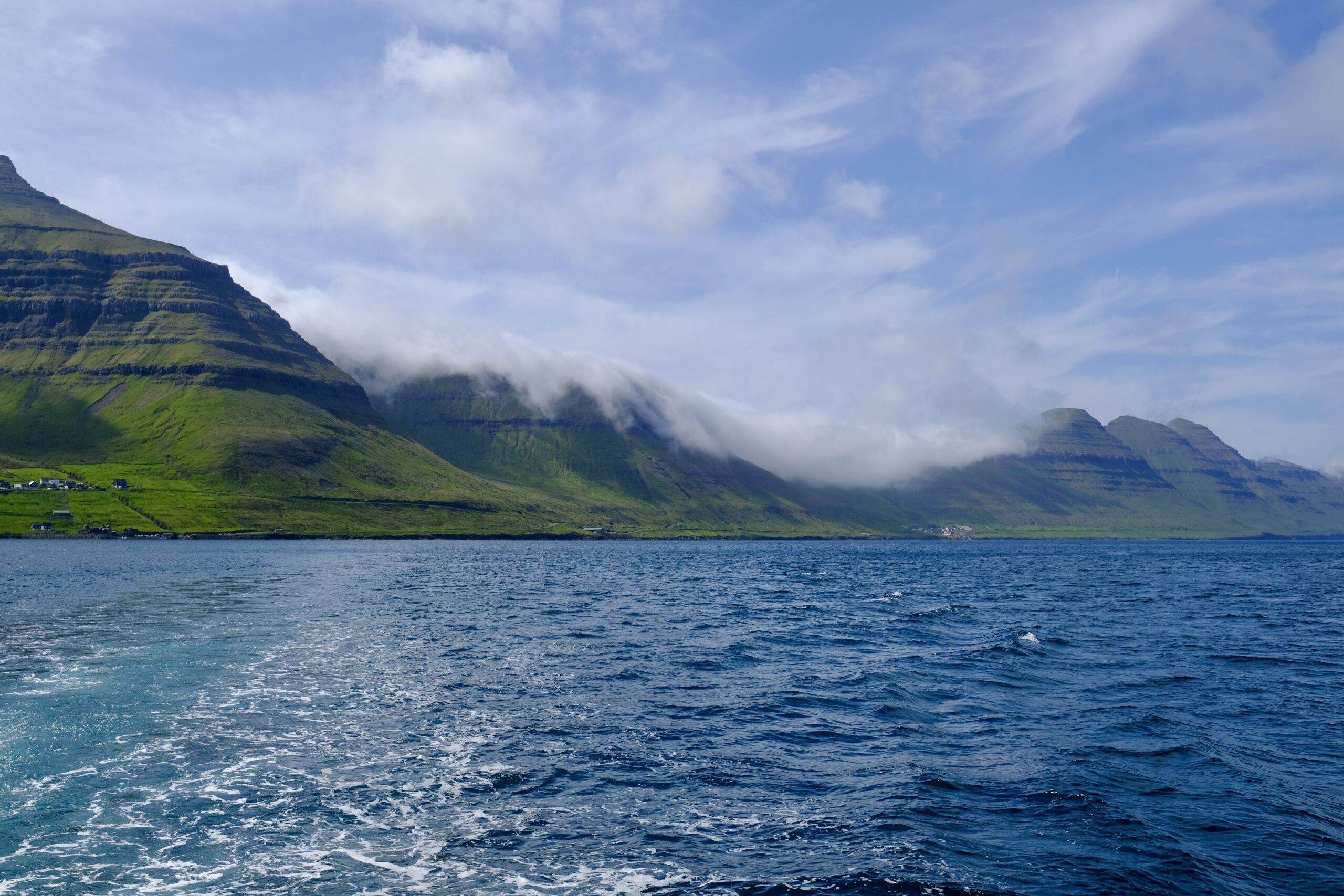
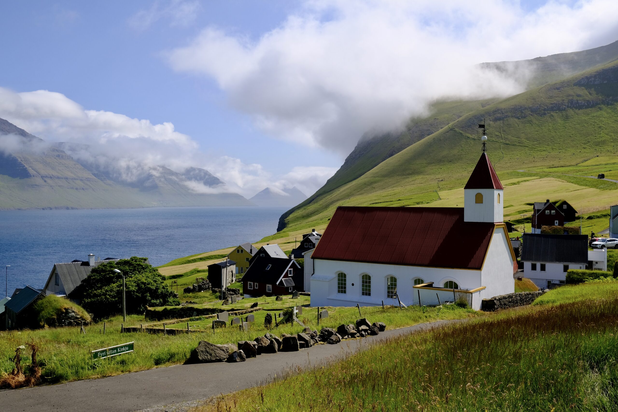
Wednesday, I was back in the Northern Isles, for a day of somewhat extreme logistical complexity with the goal of traveling to the island of Fugloy and taking a helicopter ride. The helicopters operate as public transit, serving outlying islands. Non-residents can use them, but at an increased cost, and you can only book a one-way ticket. My day involved driving to Klaksvík, then taking a bus to Hvannasund to catch the ferry to Hattarvík on Fugloy. From there, I walked over the mountain road to Kirkja, the other village, where I took a helicopter back to Klaksvík. I could have stopped there, but I didn’t. Instead, I waited for the helicopter to refuel and flew to Tórshavn, where I walked to the terminal and caught a bus back to Klaksvík, then drove back to Tórshavn. Yes, it was worth it.
Fugloy is a place I’ve wanted to visit for a long time. Back in 2019, I wrote about a documentary made about Hattarvík in 2001 that talks about life there at that time. It questions what will become of the village, but also points towards the potential for mobile phones and the Internet to revive the remote community. Hattarvík, the easternmost settlement in the country, still has a very small population. Yet because of the Internet, I actually know someone who lives there. She contacted me because of that blog post, to tell me that she was marrying one of the men in the film and moving to Fugloy to live with him. She posts about her life there now as @FugloyFarm on Instagram, and while she wasn’t there when I visited, she was kind enough to take a phone call when I was planning my trip and encouraged me to take the helicopter.
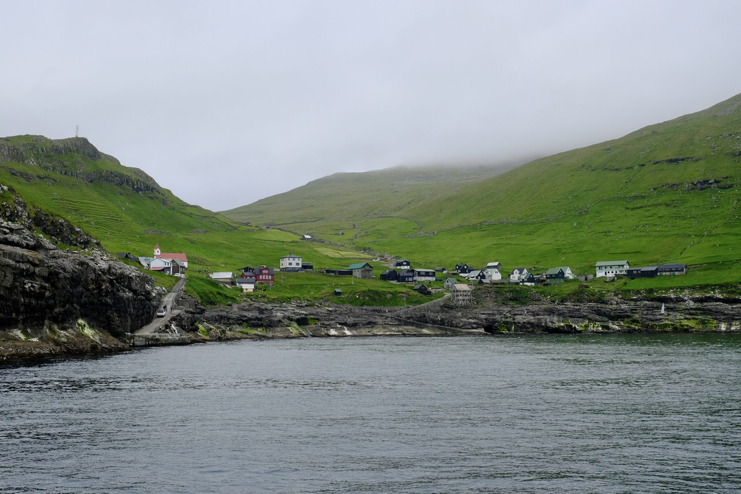
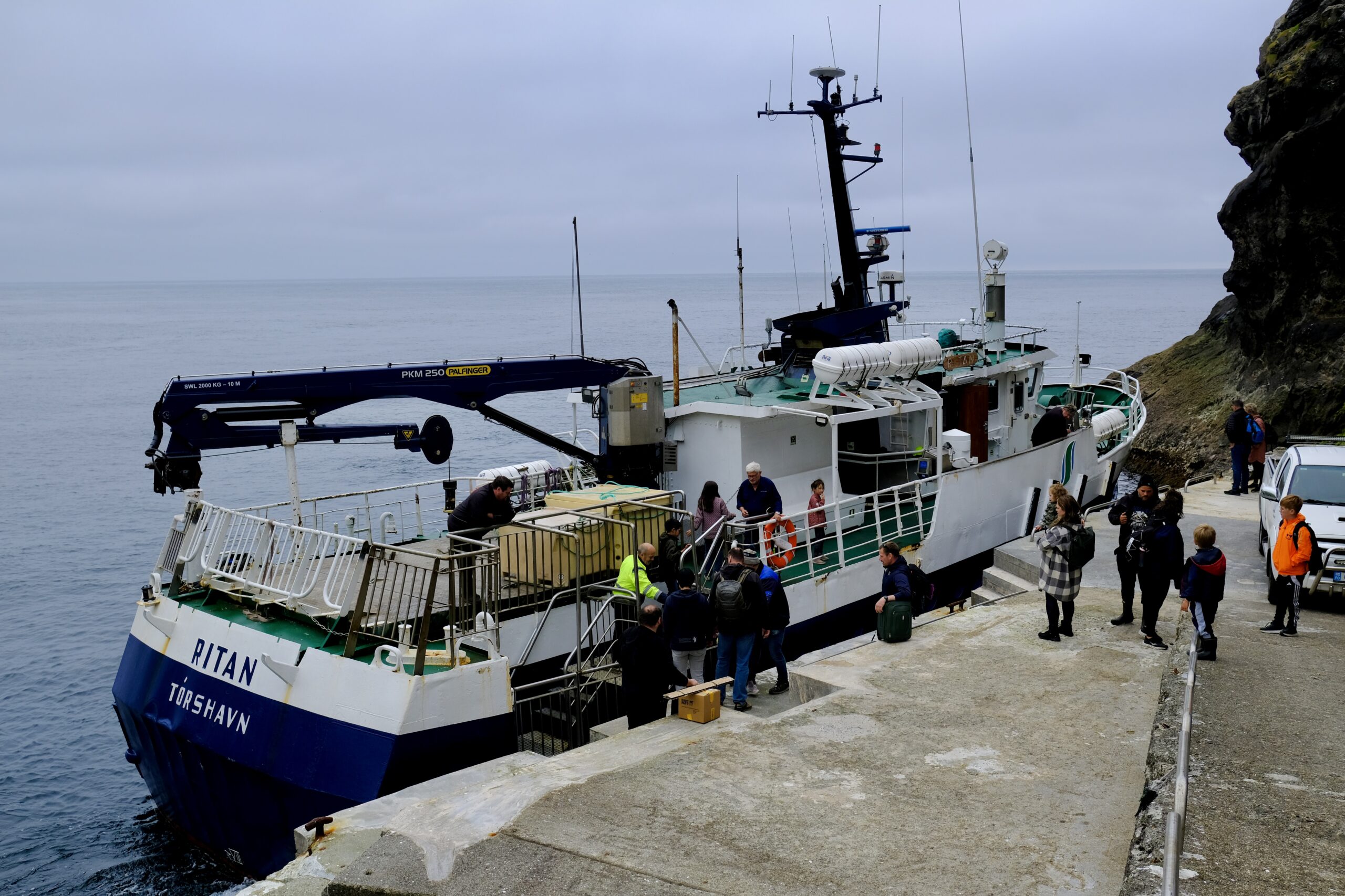
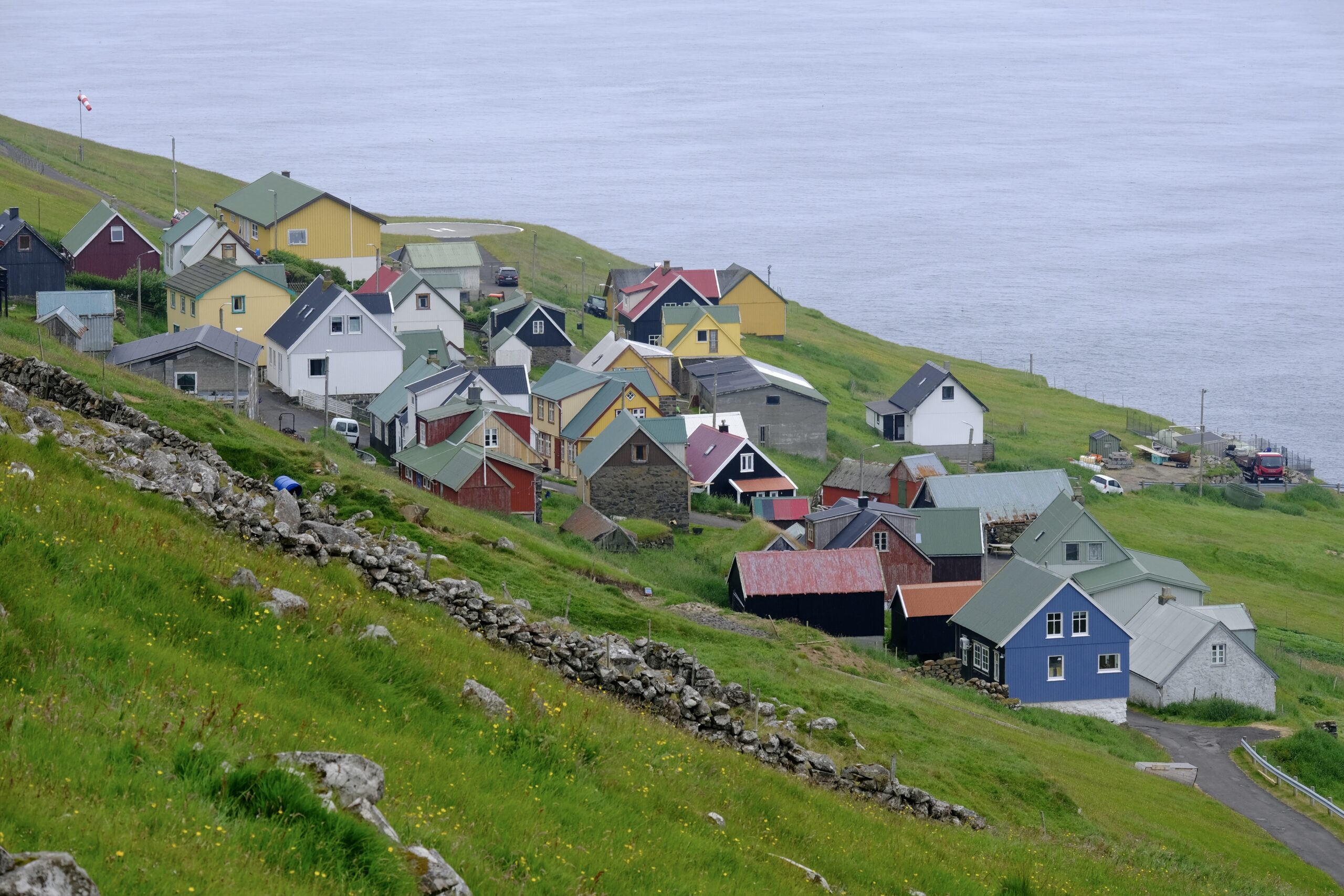
Similar to my other hikes during the week, the walk between villages was through the fog, so I missed out on views of Svínoy, Borðoy, and Viðoy from the top. But as I descended to Kirkja, I was happy to see that the fog was clear enough at that level for the helicopter to fly in, and I would soon be seeing those islands from above.
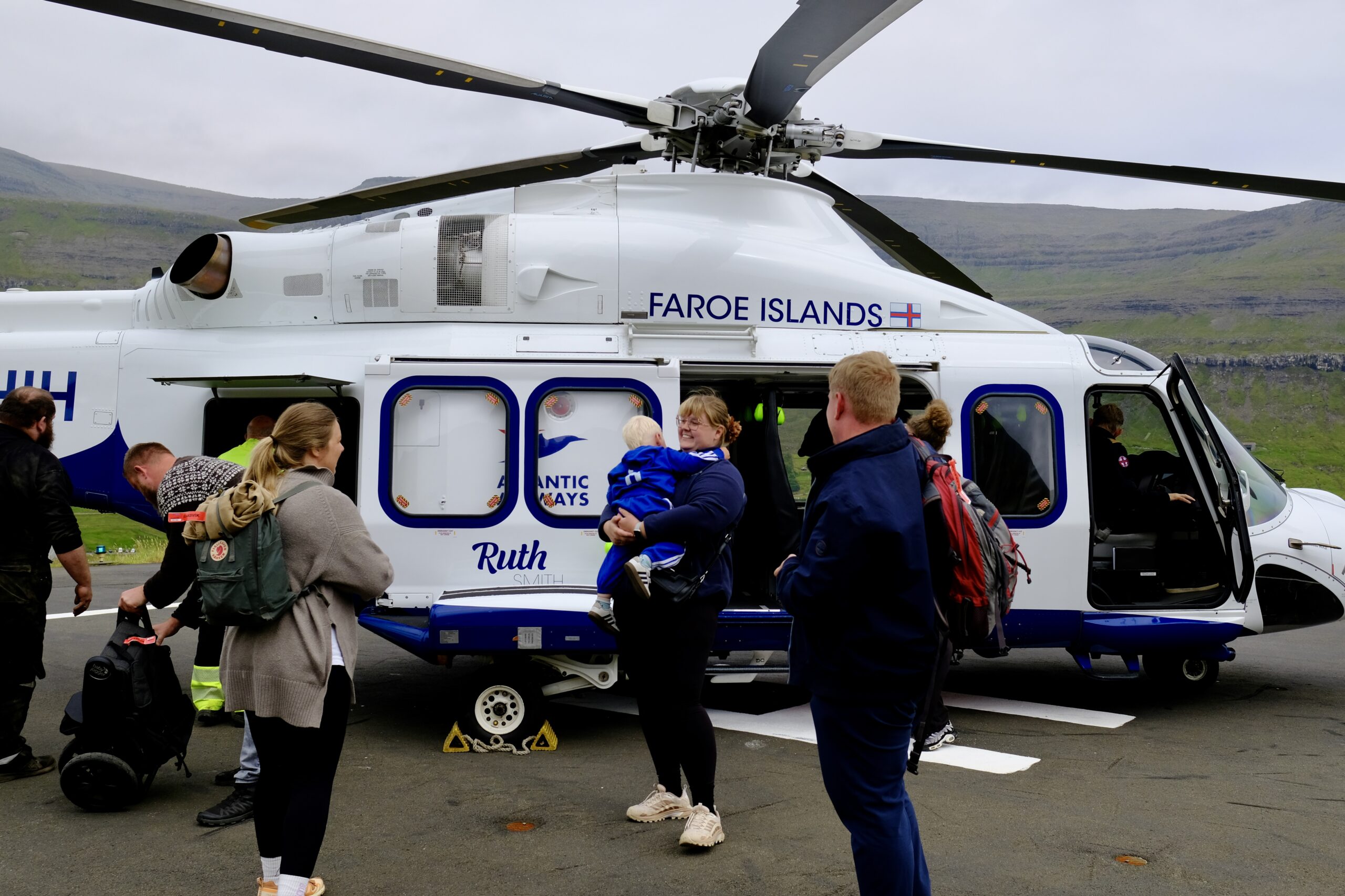
As the helicopter arrived, it seemed to draw the entire population of the village to the landing pad, both passengers and onlookers. The loading process was very informal, typical for the Faroe Islands, and while nearly every seat was filled, I was lucky to get a window seat for each flight. In the air, the reaction of the locals was muted, treating it like the public transport it was, but I couldn’t wipe the smile off my face. It was stunning to see a swath of the country from the air, particularly the Northern Isles. You can watch videos from the flight on Instagram.
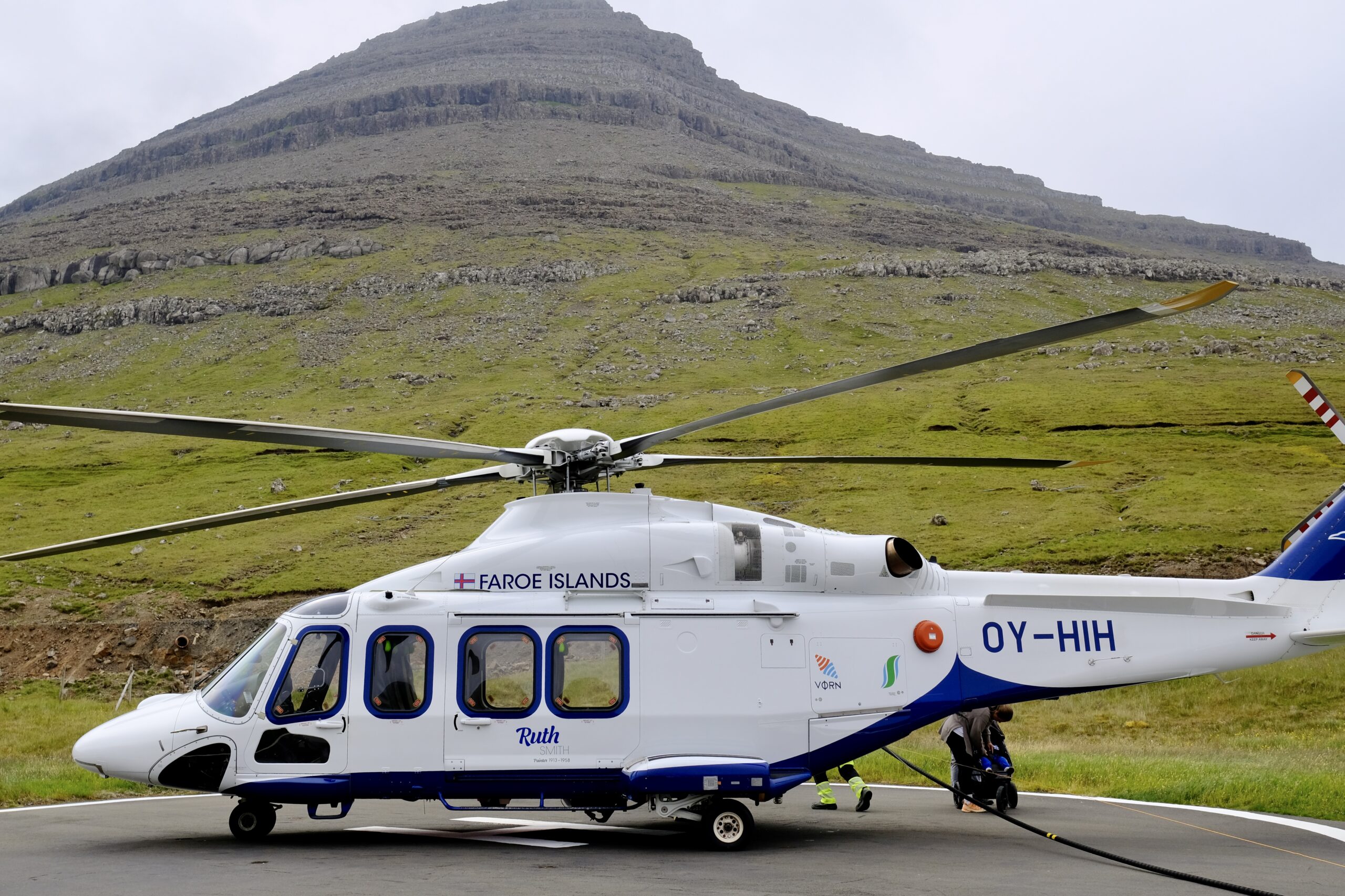
My love for the Faroe Islands is fully reaffirmed after this trip. Studying it the way I have over the last eight years has made me appreciate it even more on this second trip, and I’m certain there will be additional visits at some point. There are 18 islands in the archipelago, one of which is uninhabited. I have now been to 14 of them, including six new islands on this trip: Stóra Dímun, Nólsoy, Sandoy, Skúvoy, Kalsoy, and Fugloy. It seems reasonable to think I could make it to the remaining four someday.
There will be more for me to unpack, from both the explorations on the islands and the time spent working at Williamshús. But it was an excellent trip, with some moments of both luck and inspiration, that feels like it was the right way to wrap up my year in the North Atlantic.